Lorem ipsum dolor sit amet elit. Phasus nec pretim ornare velit non
Lorem ipsum dolor sit amet elit. Phasus nec pretim ornare velit non
Lorem ipsum dolor sit amet elit. Phasus nec pretim ornare velit non
Welcome to GeoIT Solution
We are a team of young innovative and hardworking Civil, Geomatics, Architecture, and Computer Engineers.
Our Services:
1. GIS Mapping, Feasibility Study, Geological Survey, EIA/IEE Study, Web Mapping.
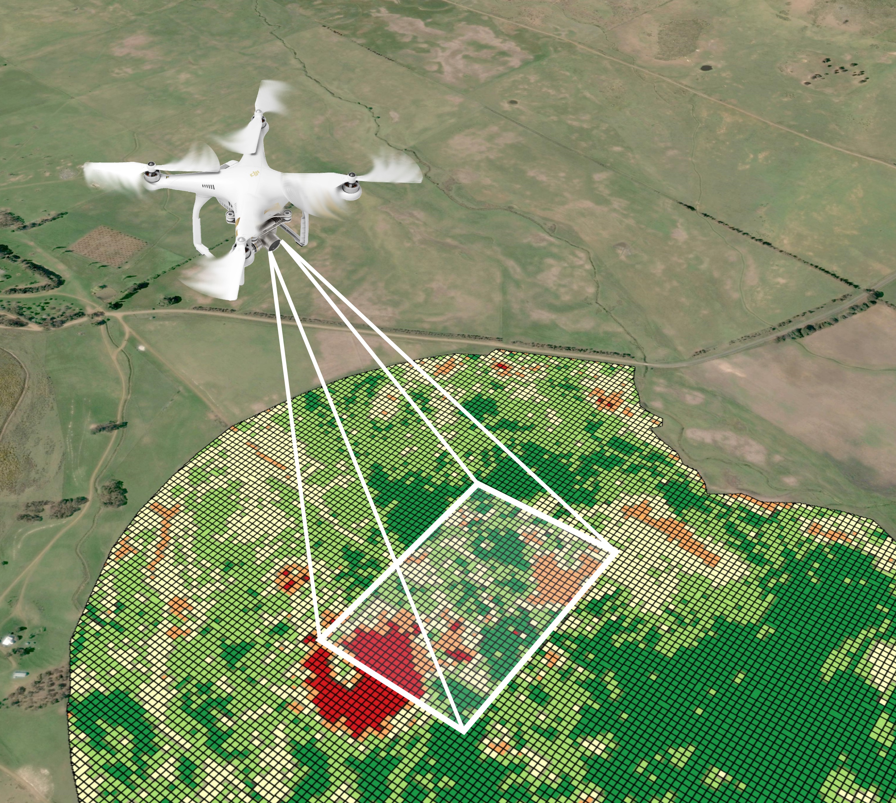
2. Drone Survey, Image Processing, satellite mapping and other Remote Sensing Solutions.
3. DGPS Survey, Urban Planning, Infrastructure Mapping and Design, Geotechnical Survey and Investigation.
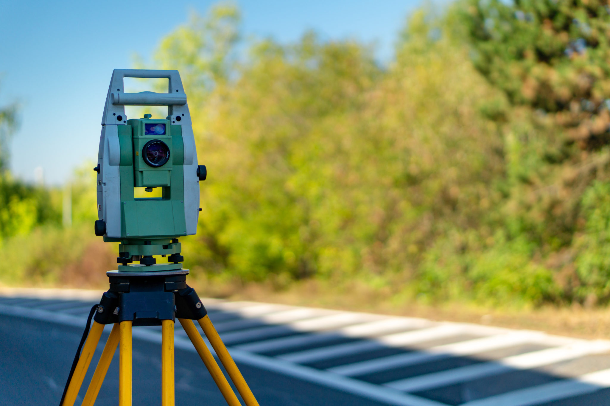
4. Topographical and Baseline Survey and Mapping of Roads, Hydropower, and Bridges.
5. Training and Workshop related to Engineering Sector.
6. DPR of Roads, Bridges and Architectural Design and Master Plan Services.
7. Analysis, Design, Estimation, and Valuation of Building Works.
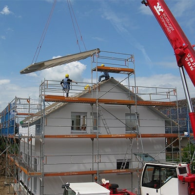
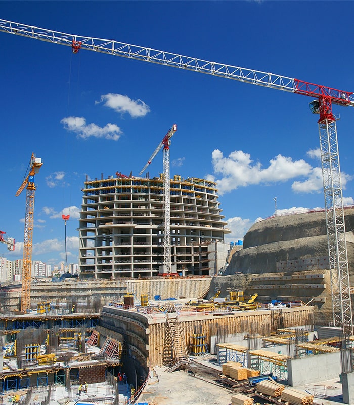
8. Site Supervision of Construction Works.
Our Team
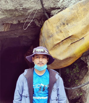
Geomatics Engineer

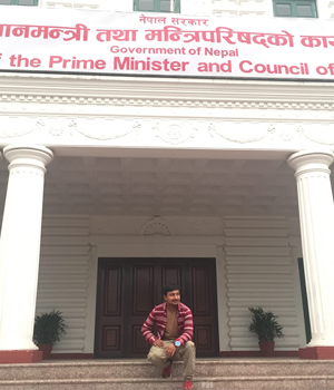
Geomatics Engineer
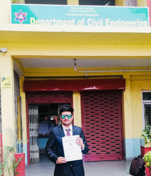
Civil Engineer
Civil Engineer

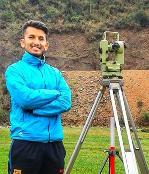
Survey Engineer

Computer Engineer
Survey Engineer
IT Analyst